Thursday, October 7, 2021

I am standing at the edge of a precipice!


I have a problem, I admit it.  If a trail is called "the precipice", it makes it almost impossible for me  not to want to do it!  And so I did!  (and since I'm blogging about it, I obviously survived.....).


But let's start at the beginning:  in the last three days, the fall colors in Acadia National park have gone from pretty to spectacular.  And with the bright blue skies we have been blessed with the entire time, it is impossible to look anywhere and not go ooohhhh and ahhhh! 

So we made the most of our last day of fall peeping and started with a short walk to the only sandy beach on the island - appropriately named "sand beach".  It is the only one, but it makes up for it by being extra pretty!
And yes, even early in the morning, one person was swimming!  Must have been chilly!  I did not join him because I did not have a bathing suit and I wanted to go hiking
 (at least that's my excuse, and I'm sticking with it!).
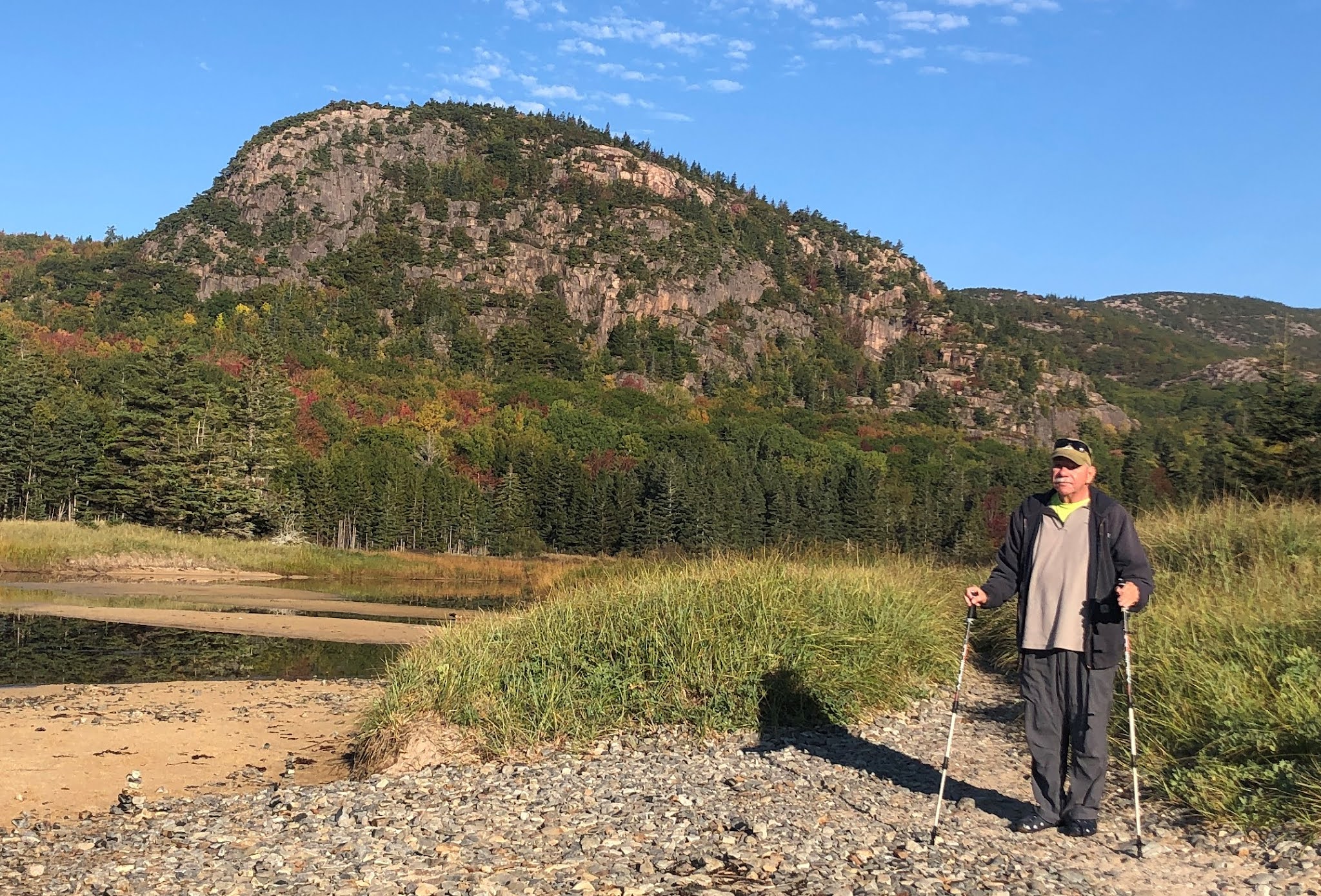
The beach also provided a great view of Champlain mountain, my next goal for the day!


Joe dropped me off at the trail head, and went on to take pretty pictures of leaves, sights and flowers (more about that later)  The precipice trail goes up - straight up! 978 feet. 

It's starts with a scramble, but then goes up the cliff through a series of rungs in the cliff and also handrails in the really narrow scary parts. 

Bottom line- it's not nearly as bad as it looks, but not for the faint of hearts (or quads!).  I just loved it!!!!  and this time, there were no 4 year old at the top....  (you have to be tall enough to reach the rungs and handrails, but I was pleasantly surprised to find that at 5'2", there was only 1 place where I had a hard time reaching. ).  One young woman told me - as I was passing her - "wow! you are in good shape!"- strongly implying the "for your age".  She is lucky I did not push her off the cliff...😂

The views are of course spectacular the whole way up AND down.  I would love to do this one again someday!


Meanwhile, Joe went to the Acadia wild garden, and tookpictures of flowers and sights (pictures of flowers at the bottom of blog).


We then went on the explore "the quieter side of Acadia" - which is the west side of the island.  We first stopped for "lunch-with -a-view" at Upper Deck in South West.  For a change, we had crab instead of lobster..... 

and then we meandered around, stopping at ponds and other interesting features.  The little beach at Long pond was charming (and is quiet and used by a lot of the locals). 
At the Long pond, the trail head indicated that it was only 1 miles to the top of Beech mountain - so I could not resist and had to go there. While not nearly as tough as the morning hike, it was a tough climb after out big lunch.  At the top is a cool fire tower which provides yet another great view.


We continued on, stopping here and there to view the sights:  this side of the island is not as dramatic as the east side, but still very pretty.


Then we went to Bass Harbor to see the most photographed lighthouse in the US!  It is a nice lighthouse, but it was the only place on the west side that was crowded, and parking was just impossible (I just jumped out of the car, walked down, took a quick picture and we turned around.)  It's a pretty lighthouse - but it's hard to explain why it is so popular compared to all the other sights around.....

We drove back through real villages where real people live...  no tourists here, even though the ocean and the ponds are ever present.  


We did not want to deal with going to town for dinner, so got take out from the restaurant next door, which happens to be a steakhouse.....  Still, could not just have steak!  so had some filet mignon and scallops.  It was easy and satisfying.


Tomorrow, we are going for different type of ooooh and aaahhhh...  meeting Emily, Timmy and Mary in Dover and then going on to Hooksett!


Below are some more picture of today - particularly flowersand foliage.


Wednesday, October 6, 2021

Mountains, lakes, loons, flowers and sunshine!


We had tickets to drive to the top of Cadillac Mountain first thing in the morning (not at sunrise though because these tickets are very popular and almost impossible to get).  It is good that timed tickets are now required because, given how the other area's parking situation is, Cadillac mountain would be a complete zoo without it.  At 1530feet, Cadillac Mountain is the highest point of the eastern coast of the US.  The 2.5miles road takes you from sea level to the top through a set of hair pin turns that provide nicer and nicer views as you go up.  

At the top, a nicely graded 0.5mile trail, makes it accessible for almost everyone, and the views are almost a full 360.  With this weather we are having, it was awesome!  
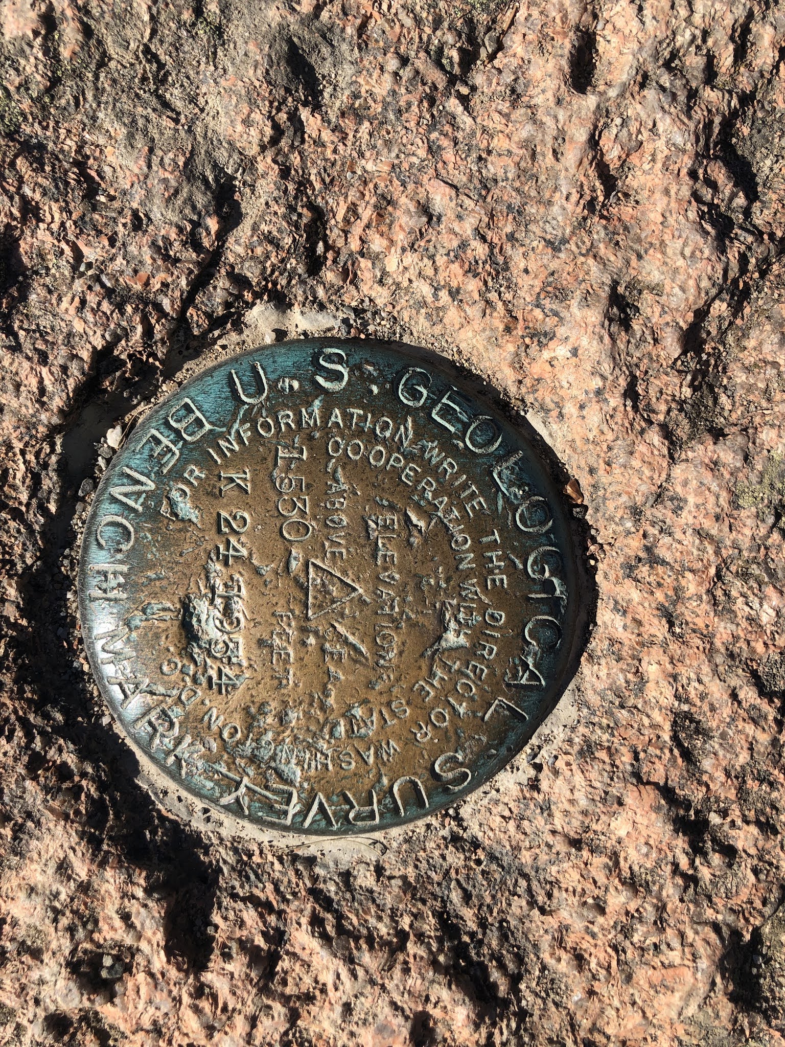
The trail is not actually at the very top, so I searched for the geological marker, just a few hundred feet away, and mostly unnoticed by most.


Since we were going in that direction anyway, we then headed for Jordan pond.  By the time we arrived there, at 10:00am, the parking area was completely full and it was just impossible to stop.  Joe - who is extremely tolerant of my hiking needs, and very patient when it comes to driving around, or just changing his plans and doing something else- just dropped me off.  I had planned what I thought was a nice and easy hike around Jordan pond, with a side loop up Bubble Mountain.  I was half right about my plan - its was nice..... 


The part around the lake was indeed very easy, but the part up Bubble rock was tougher than expected (which I should have guessed just looking at them from the lake - below, in the background are Bubble North and South - obviously a bit up hill.....). 


Unlike yesterday, no cliff climbing, but the rocky trail was tricky too. 
The big "bubble rock" is cool and the view down Jordan pond from the top of Bubble mountain is worth the climb.  I was feeling pretty good about myself when a family with 3 children, ages 2, 4 and 6 made it to the top.  

The father had the 2 years old in a back pack (which is impressive by itself), but the 4 and 6 year old girls made it by themselves(they took an easier access trail than me, but its still up so a long way!!!).  the 4 year old did not look too happy about it, but she made it, and the 6 year old was literally skipping around the rocks (and she is the one who took my picture)!


Back down to finish the other side of the Jordan pond loop and meet Joe in the parking lot. 
Since he had not been able to park, he went and explored other sides, including Otter cliffs.


By that time, it was lunch time, and we headed for NorthEast Harbor, which is quieter than Bar Harbor.  Indeed, we found a sleepy, ritzy, artsy little village where one could park easily and get a sandwich without waiting - what a treat!  (It is VERY ritzy- in that unique New England understated waspy way.  Martha Steward has her estate there.....). 
Its little harbor is delightful and delightfully quiet - and had unusually tame loons willing to pose for pictures!


We decided to stay on the quieter side of the park and instead of re-entering the park, we went to some of the protected ponds just outside it, and explored some of the original Rockefeller carriage roads.  The islands has 57 miles and miles of them.  They are beautiful indeed! They were originally intended for the Rockefeller's estate, but were then donated to the park and are used for hiking, biking and horse back riding all around the park. 
The one we picked started at a little pond, and it was just beautiful, peaceful and bursting with fall colors. 


Across the street from that park was one of the many typical cobblestone beaches of the island.  In fact, there is only one sandy beach (hoping to go there tomorrow morning), all other have these cobble stones.

We then continued on to  the famous "sargeant drive", one of the pretties roads anywhere.  We passed "petite plaisance", where Marguerite Yourcenar (the first woman to be elected to the Academy Francaise- google it) fled during WWII -  decided she couldn't live anywhere else and stayed there for the rest of her live. 

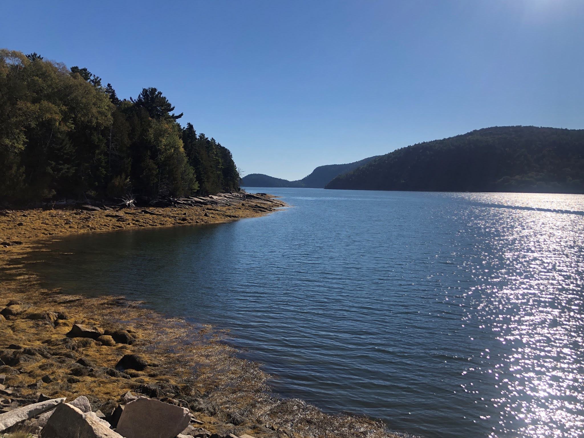
 Sargent drive follow Some sound, which separates the east and west side of the island (so far, we have only explored the East side, going West tomorrow). Some sound may or may not be a true fjord - apparently it's banks are not quite steep enough, so geologist are arguing.....  looks pretty fjordish to me.

Before dinner, I took advantage of the low tide to explore the "bar" in Bar Harbor- that is the gravel and rock bar that links the town of Bar Harbor to the little island across the harbor.  It is only walkable at low tides, and many people have been left stranded and required a water taxi to rescue them by not paying attention to the tides. 


It is a lot of fun, with little tidal puddles full of marine animals and sea weed.  I really enjoyed that.  I even had time for a short walk on the island itself, getting a different view of Bar Harbor.


Tonight, we had made reservation at a fancy restaurant in town, which had come highly recommended by two separate friends (Luba and Sheri) - Havana.  It was truly exceptional.  That lobster in coconut sauce was just amazing!

Below are a few additional  pictures of sights and flowers from the day.